


History and Land
The Shobac site has been passed from hand to hand for centuries. The Mi’kmaq used the site for thousands of years as a summer camp for harvesting shellfish. Located on the cliffs overlooking the LaHave Estuary, named by French explorer Samuel De Champlain, the site was ideal for making his first landfall in the new world in 1604 where it was established as an Acadian fishing/farming village. Later, it was “settled” by the German, Swiss and French Protestants for agricultural use in 1755. The community was abandoned in the mid-20th century, however, it did continue as an in-shore fishing port until the 1970s. The forests grew back and the trees began to reclaim the farmland between each successive wave of settlement. In 1988, Brian MacKay-Lyons began re-clearing the land and cultivating it to re-create an agricultural village at the edge of the world.
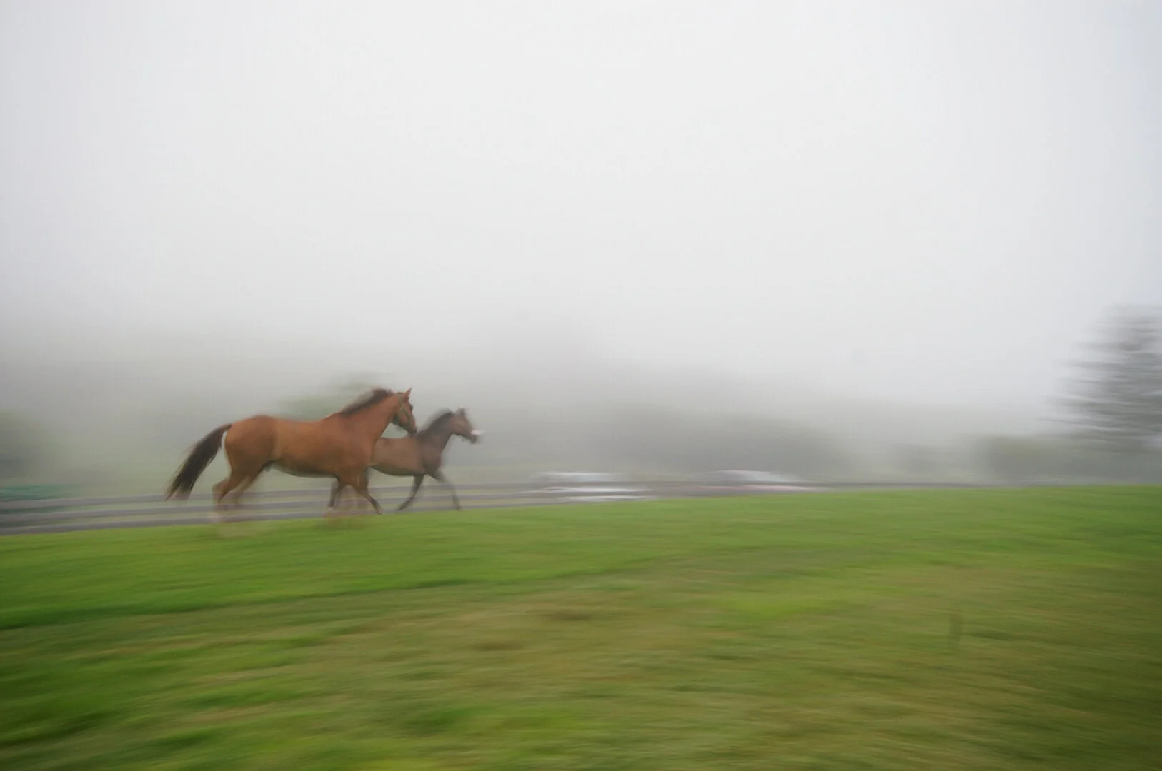
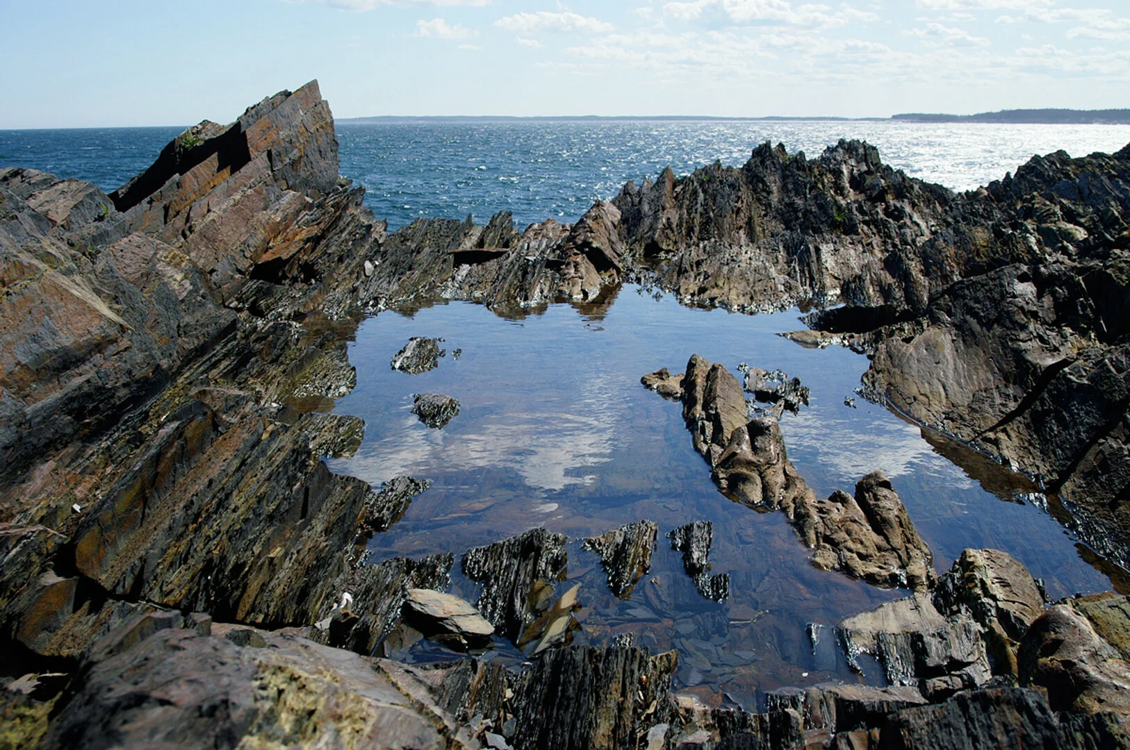
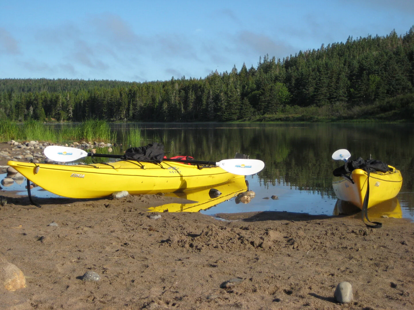
This compound is surrounded by undulating pastures, re-cleared by Brian and occupied by cattle or horses. Shobac is named after the original land grant of Christian Shoubach, on the high cliffs which embrace the site to the north. The fertile, sensuous hills that surround the site are "drumlins" or deposits left by retreating glaciers at the end of the last ice age some 15,000 years ago. Waves crash dramatically against the nearby Gaff Point cliffs. Erosion of the drumlins creates sandy beaches at the ocean's edge with warm fresh water lakes behind. This landscape long supported subsistence agriculture and the inshore fishery. Gaff Point, adjacent to Shobac, is a 150 acre nature trust, offering spectacular hikes. Three-kilometer-long Hirtles Beach next to Shobac is one of Nova Scotia's finest sandy beaches. These spectacular natural amenities (along with west ironbound island offshore) have been preserved for the benefit of Nova Scotians and visitors alike by the sustained stewardship of The Kingsburg Coastal Conservancy.